
Before buying a home or renting a 1st-floor unit or basement parking space in Taipei and New Taipei, check the Water Resources Agency (經濟部水利署) Disaster Prevention Information Service Network or the National Science and Technology Center for Disaster Reduction (國家災害防救科技中心, NCDR) "3D Disaster Potential Map" by entering the street address and overlaying the three "24-hour quantitative rainfall 350mm, 500mm, and 650mm" flood potential map layers. However, the Water Resources Agency also states that flood potential maps are disaster-preparedness simulations based on terrain and hydrological models, do not mean every single rainstorm will cause flooding, and should not be used as the sole basis for real estate transactions; after checking the online maps, pair them with 5 on-site viewing checks: "flood barrier side-post tracks, dual basement submersible pumps, stairwell baseboard waterlines, drain check valves, and bowl-shaped alley elevation drops". Based on information verified on 2026-11-07, this article summarizes map interpretation, on-site inspection indicators, and flood barrier subsidies in Taipei and New Taipei.
How to check if a street address is flood-prone: reading Water Resources Agency and NCDR flood potential maps
The "flood potential maps" (淹水潛勢圖) produced by the Water Resources Agency, Ministry of Economic Affairs assume a fixed rainfall amount over a specific duration (6 hours, 12 hours, or 24 hours) to simulate where surface water will pool when rainfall exceeds the design capacity of regional storm sewers and pumping stations. Homebuyers and renters most commonly inspect the three "24-hour cumulative rainfall 350mm, 500mm, and 650mm" quantitative rainfall scenarios:
| Quantitative rainfall scenario (24-hour cumulative rainfall) | Scenario meaning and rainfall intensity concept | Key map color-scale focus | Home-viewing and residential evaluation approach |
|---|---|---|---|
| 24 hours 350mm | Close to the Central Weather Administration "Torrential Rain" (大豪雨) threshold (24-hour cumulative rainfall of 200mm+ or 3-hour rainfall of 100mm+; "Extremely Torrential Rain" 超大豪雨 is 24-hour 350mm+) | If color blocks of 0.3 to 0.5 meters or deeper appear even under the 350mm scenario, the block sits at a relatively low elevation or carries a heavier drainage load | 1st-floor storefronts, residences, and basement ramp entrances should have physical flood barriers (stop-logs) and backflow-prevention drainage hardware |
| 24 hours 500mm | Severe rainfall accompanying a strong typhoon or extreme stationary front | Observe whether color blocks spread from the road into the building site interior; depth tiers commonly show 0.3 to 0.5 meters, 0.5 to 1.0 meters, 1.0 to 2.0 meters, etc. | Check the crest elevation of the community's basement driveway ramp (whether it rises 30 to 50 cm+ above the street surface) and backup power for sump pumps |
| 24 hours 650mm | Extreme climate super-heavy rainfall stress-test scenario | Broad low-lying basins or landward sides of river levees may show deeper color shading | Used to evaluate extreme disaster evacuation routes and advance warning time for moving vehicles parked on basement levels B2 and B3 |
Looking up an address is straightforward: open the NCDR "Disaster Potential Map Website" (災害潛勢地圖網站), type the full Taipei City or New Taipei City street address in the upper-left search box, and check the "Flood Potential Map (24-hour 350mm / 500mm / 650mm)" layer on the left panel to see the building footprint. During a typhoon or afternoon cloudburst, to see real-time waterlogging or road closures across districts in Taipei and New Taipei, use the site's Taiwan real-time disaster and flooding map tool, or switch directly to the Taipei City real-time disaster map and New Taipei City real-time disaster map.
What flood potential maps do not tell you: 5 on-site physical checkpoints when viewing a home
In its map notes, the Water Resources Agency emphasizes that flood potential maps are for disaster-prevention reference only: if a city block has recently added a detention basin, flood diversion channel, or expanded pumping station, its actual flood protection may be much higher; conversely, an older alley outside the colored zones can still experience street flooding during short-duration intense rain if side ditches clog or sit in a local depression. Always check five physical indicators on site:
- Whether 1st-floor doors and basement driveway entrances have "flood barrier (stop-log) aluminum side tracks": Check both side pillars of the 1st-floor entrance of the target building and its neighbors for 50 to 100 cm high stainless steel or aluminum U-channels. If every 1st-floor household along the lane has flood barrier tracks installed and outdoor AC condensers elevated more than 1 meter off the ground, the lane has experienced street flooding in the past and residents have adapted.
- "Horizontal waterlines" on stairwell baseboards, below meter boxes, and on basement columns: Walk into the 1st-floor stairwell of an older walk-up or a building's basement parking garage and shine a flashlight 20 to 60 cm above the floor along walls and concrete columns to look for level brown silt lines, peeling paint boundaries, or 1st-floor door thresholds raised 15 to 20 cm with brick and mortar.
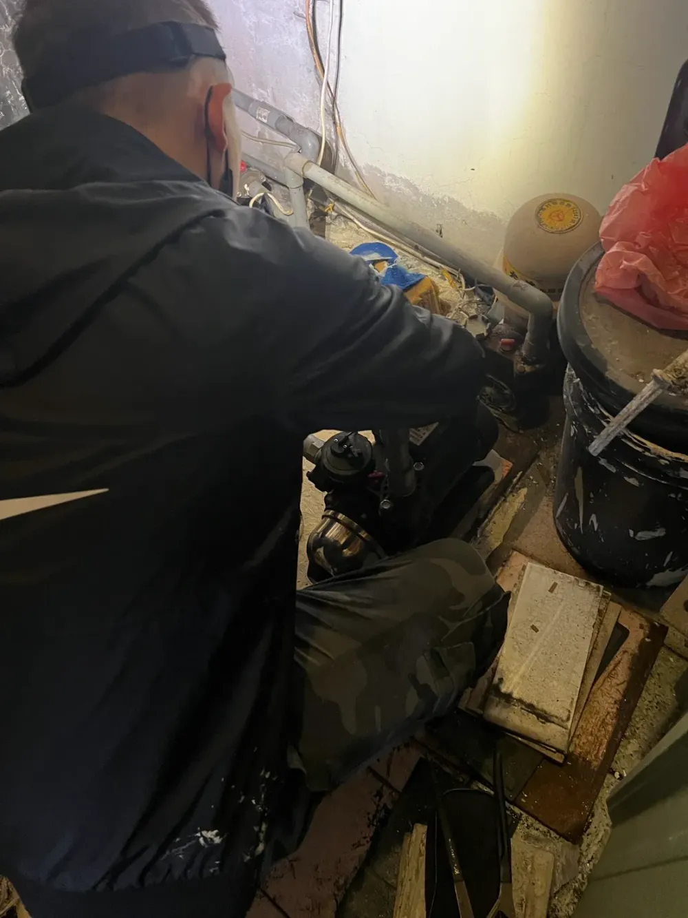
- "Dual submersible pumps" and emergency generator backup in the building's basement sump pit: When buying a condo unit with a flat or mechanical basement parking space, ask the management committee or building manager to show the driveway trench drain and the lowest basement sump pit. A safe building configures "two submersible pumps (alternating in normal operation and running in parallel during heavy rain)" wired to the "emergency generator circuit" so pumps do not stop during a typhoon power outage.
- "Backflow prevention (check valve)" design on 1st- and 2nd-floor indoor drainpipes: For 1st-floor homes in low-lying areas, the biggest threat is often not water entering through the front door, but surcharged street storm sewers forcing rainwater backward up through the 1st-floor kitchen floor drain, washing machine drain, or toilet. When renovating a 1st-floor older home, confirm that 1st-floor soil and drain lines run on independent pipes or have one-way drain check valves (逆止閥) installed.
- Relative elevation between the street and the site (bowl-shaped terrain check): Stand at the front entrance and look toward both ends of the alley; if the property sits at the lowest point of a slope or the alley pavement is noticeably lower than the surrounding main road sidewalk, heavy rain will funnel toward the bottom of the alley, making the property heavily dependent on clear storm drains.
For district-specific flood history and home-buying checks (such as Xizhi District, which improved dramatically after the Yuanshanzi Flood Diversion Channel opened), see the site's Xizhi home-buying flood history, Yuanshanzi diversion channel, and price-registration checklist.